A comprehensive operational playbook for commercial UAV operators: airframe selection, multi-sensor payload calibration, flight mission autonomy, and DGCA DigitalSky compliance.
Selecting the Right Airframe: Quadcopters vs. Heavy-Lift Hexacopters
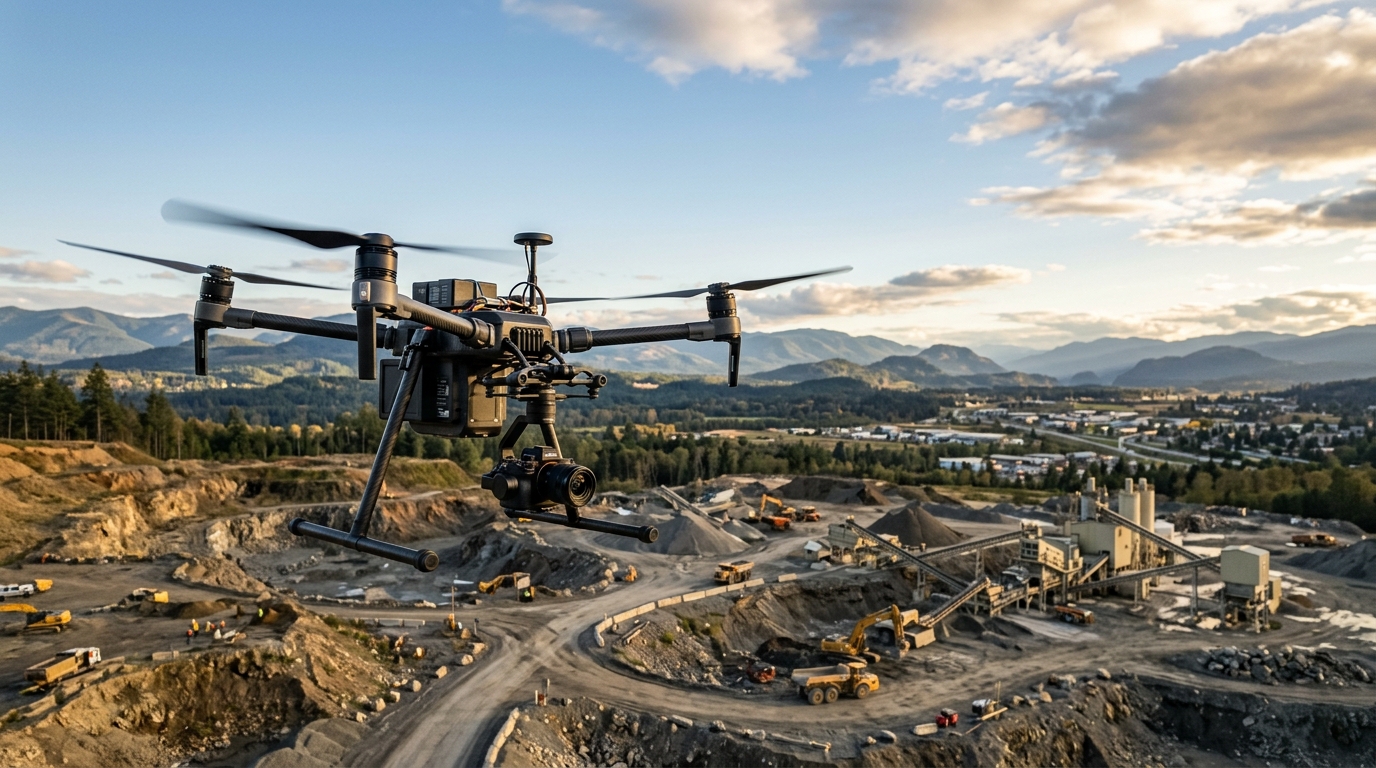
Commercial aerial operations begin with choosing the appropriate unmanned airframe. For rapid reconnaissance, pipeline scouting, and urban rooftop surveys, high-end quadcopters like the Matrice 350 RTK provide the optimal combination of aerodynamic agility and rapid 3-minute field deployment.
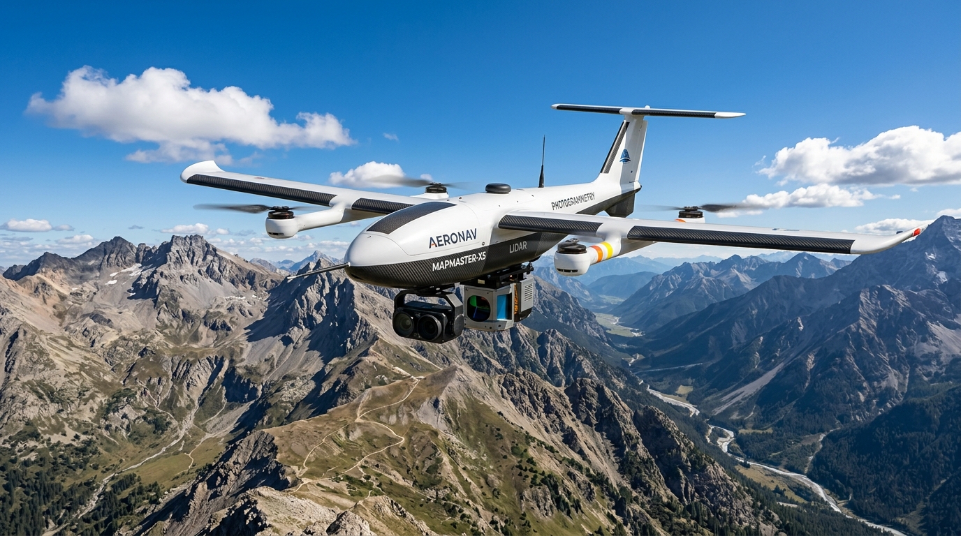
However, when industrial missions require dual-gimbal payloads—such as mounting a 45-megapixel full-frame photogrammetry camera simultaneously with an aerial LiDAR laser scanner—heavy-lift hexacopters become essential. Multi-rotor redundancy ensures that even if a single motor fails mid-flight, the flight controller dynamically redistributes motor thrust to execute a safe automated return-to-home (RTH) emergency landing.
Multi-Sensor Payload Integration: LiDAR, Photogrammetry & Thermal IR
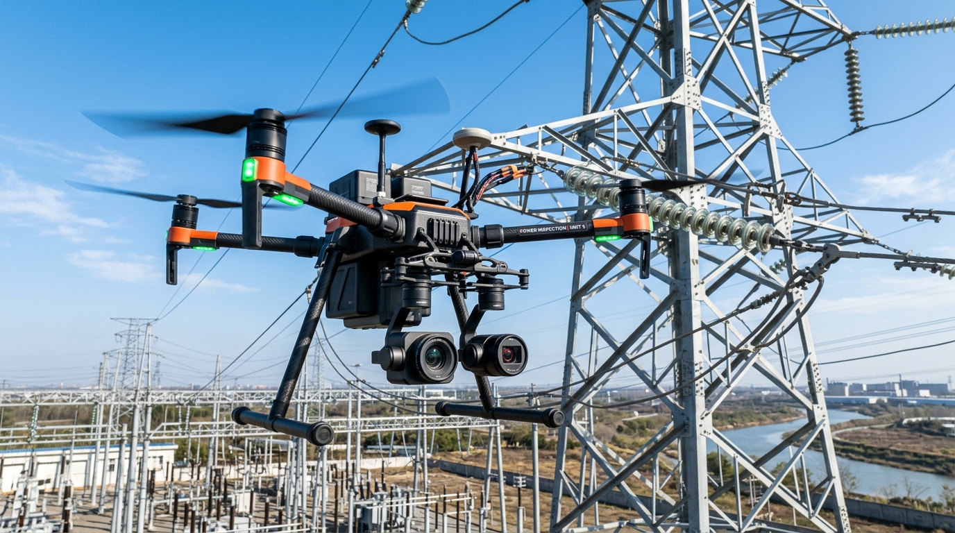
Modern asset inspection is no longer limited to standard visual cameras. Enterprise operations now integrate three core sensor modalities:
• Radiometric Thermal Infrared (IR): Pinpoints electrical resistance hotspots in high-voltage substations, detects solar panel bypass diode failures, and locates building envelope heat leaks.
• Airborne LiDAR (Light Detection and Ranging): Penetrates dense tree canopies and vegetative foliage to generate high-density bare-earth digital elevation models (DEM) with millimeter accuracy.
• High-Resolution Photogrammetry: Captures overlapping visual imagery for sub-centimeter ground sampling distance (GSD) orthomosaics and textured 3D digital twins.
“Replacing traditional scaffolding and manual rope access with automated industrial UAV sweeps has reduced inspection turnaround from 14 days down to 4 hours, while virtually eliminating personnel fall hazards across our transmission grid.”
Comparative Payload Matrix for Commercial Operations
| Sensor Type | Primary Use Case | Typical Flight Altitude | Data Output Format |
|---|---|---|---|
| Radiometric Thermal | Solar & Substation Audit | 30m - 60m AGL | R-JPEG, Radiometric TIFF |
| Aerial LiDAR Scanner | Forestry & Corridor Mapping | 80m - 120m AGL | LAS, LAZ Point Cloud |
| Full-Frame RGB (45MP) | BIM & Topographic Survey | 100m - 150m AGL | GeoTIFF Orthomosaic |
| Gas Leak Optical Sensor | Refinery & Pipeline Safety | 20m - 40m AGL | Continuous PPM Video Stream |
Real-Time Telemetry & Fail-Safe Security Protocols
Mission security and hardware longevity depend on multi-layered fail-safe systems. Modern enterprise flight controllers continuously track 48 distinct telemetry metrics per second, including motor RPM, battery internal resistance, wind shear force, and GPS satellite geometric dilution of precision (GDOP).
If transmission signal drops below critical thresholds or a low-battery milestone is reached, the onboard autopilot automatically assesses wind vector drift and triggers automated Return-to-Home along the safest cleared altitude corridor.
DGCA Compliance, DigitalSky Clearance & Airspace Permissions
In India, commercial drone operations must strictly adhere to DGCA Drone Rules and DigitalSky airspace classifications.
• Green Zones: Operations up to 400 feet require no prior flight permission, provided the pilot holds a valid Remote Pilot Certificate (RPC) and the UAV has a Unique Identification Number (UIN).
• Yellow Zones: Airspace between 8km and 12km from airport perimeters requires automated DigitalSky clearance before propeller startup.
• Red Zones: Restricted airspace surrounding defense installations and international borders requires formal Ministry of Defence authorization.
Always ensure that your third-party liability insurance is active and that your flight logbooks are synchronized with DigitalSky within 24 hours of landing.
Battery Cycle Management & Preventative Maintenance
Smart flight batteries represent the single highest ongoing consumable cost in commercial drone operations. To maximize pack lifespan:
• Never charge battery packs immediately after flight while cells are still hot; allow 15 minutes of cooling before connecting to fast-charging stations.
• Store batteries at nominal 50% to 60% charge state if parked for more than 72 hours; never store fully charged or depleted below 10%.
• Retire flight packs from mission-critical aerial duty once cell internal resistance disparity exceeds 5 milliohms or discharge cycles exceed 200 cycles.
Ready to standardize your flight operations?
Download the official Industrial Drone Inspection SOP & CAD eSUA Compliance Playbook used by enterprise UAV teams.
Vikramaditya Sen
Director of Aerospace Flight Operations
Specializing in commercial drone deployment, payload sensor integration, LiDAR mapping, and enterprise autonomous aerial workflows.